The Arizona Bucket List
Updated June 28, 2023
While we live here, this is a huge state with a lot to explore! We’ve compiled a guide of towns to see, both ones we have explored and ones on our own bucket list. Check them out, below!
Jump To:
Apache Junction
Type of Visit: Outdoor adventures, Historical - Old mining towns and the famous Tortilla Flats!
Apache Junction arose at an intersection on an unpaved stagecoach trail to the nearby Superstition Mountains. The location became a historical landmark, part of a scenic byway that was opened to the public in 1922, and is currently part of a 120-mile-long "circle trail" that begins and ends in Apache Junction. The O'odham Jeweḍ, Akimel O'odham (Upper Pima), and Hohokam people all have tribal ties to the area.
Today, it’s a place many people come to retire however, it also serves as a great example of these pop-up mining towns.
Click here to review our guide on having the best day there!
Benson
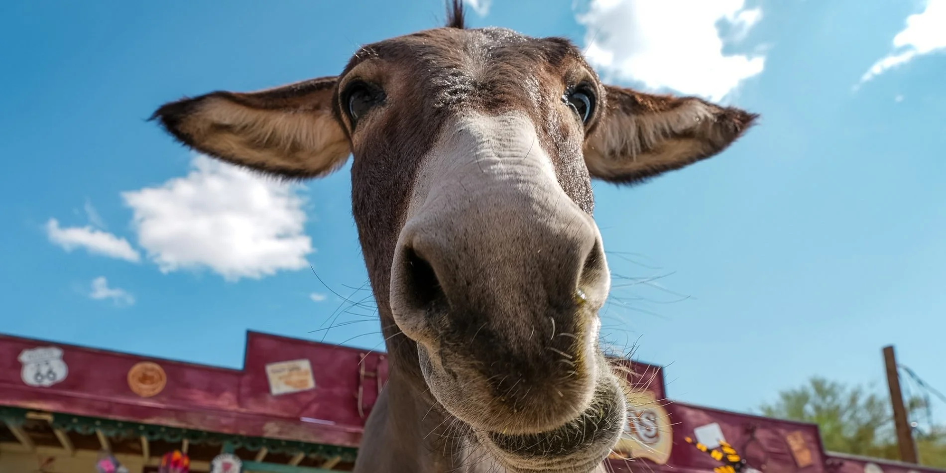
Type of Visit: Historical and outdoor adventures - they are famous for the Kartchner Caverns and their donkey rescue organization!
Benson was founded in 1880 when the Southern Pacific Railroad came through. It was named after Judge William S. Benson, a friend of Charles Crocker, president of the Southern Pacific. The railroad, coming overland from California, chose the Benson site to cross the San Pedro River. Benson then served as a rail junction point to obtain ore and refined metal by wagon, in turn, shipping rail freight back to the mines at Tombstone, Fairbank, Contention City, and Bisbee.
In 1878, William Ohnesorgen had erected a toll bridge over which mining supplies were transported to the new mining camps, such as Fairbank and Tombstone. Two years later, this bridge marked the location of the railroad bridge that became the terminal site of Benson.
Apache Nitrogen Products (originally Apache Powder Company) was formed in the 1920s. It was located just outside Benson and was a major employer. Apache Park and nine nearby houses on West 6th Street in Benson, built to house company management, were listed on the National Register of Historic Places in 1994 as the Apache Powder Historic Residential District.
The city today is perhaps best known as the gateway to Kartchner Caverns State Park. It is also home to the acclaimed Singing Wind Bookshop, which specializes in books about the Southwest.
where to Stay
Benson is a very tiny town with not a lot of options on where to stay. In fact, we’d suggest staying in nearby Tombstone or Bisbee. If you’re renting/have an RV, there are a lot of parks around the area.
Downtown Benson Studio (Air BnB)
Pet-friendly Air BnB (top-rated)
WHERE to Drink & Dine
Mi Casa (high ratings)
Things to See & Do
Benson Historical Museum
The Benson Museum of Local History was established in 1987 to collect, preserve, and display items of historical significance related to the Benson area.
Butterfield RV Resort Observatory
Butterfield RV Resort and Observatory is the only RV Resort in the nation with its own university quality observatory.
Forever Home Donkey Rescue
This organization helps to rehabilitate and re-home rescued donkeys. You can come visit, interact with the donkeys, and learn more about their amazing cause!
Gammons Gulch (Movie set)
Gammons Gulch is located north of Benson in the High Desert of Cochise County. This movie location has been the backdrop of movies and shows, such as: Walker: Texas Ranger, Dallas, Dr. Quinn Medicine Woman; The Young Riders, The 4400, Brothers & Sisters and more. It’s also featured in the History Channel's Western Tech Series, where you can see their Old West Town and Telegraph office.
When you visit the Old Western Town, which is a mix the 1880's to the 1930's, you can see collections antiques, old cars, and movie memorabilia. The movie set location offers self guided tours or personalized tours of The Old West Town.
Kartchner Caverns
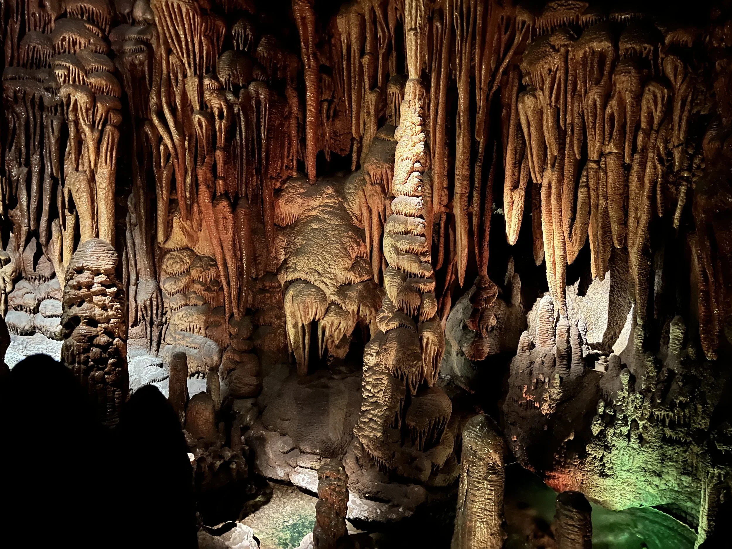
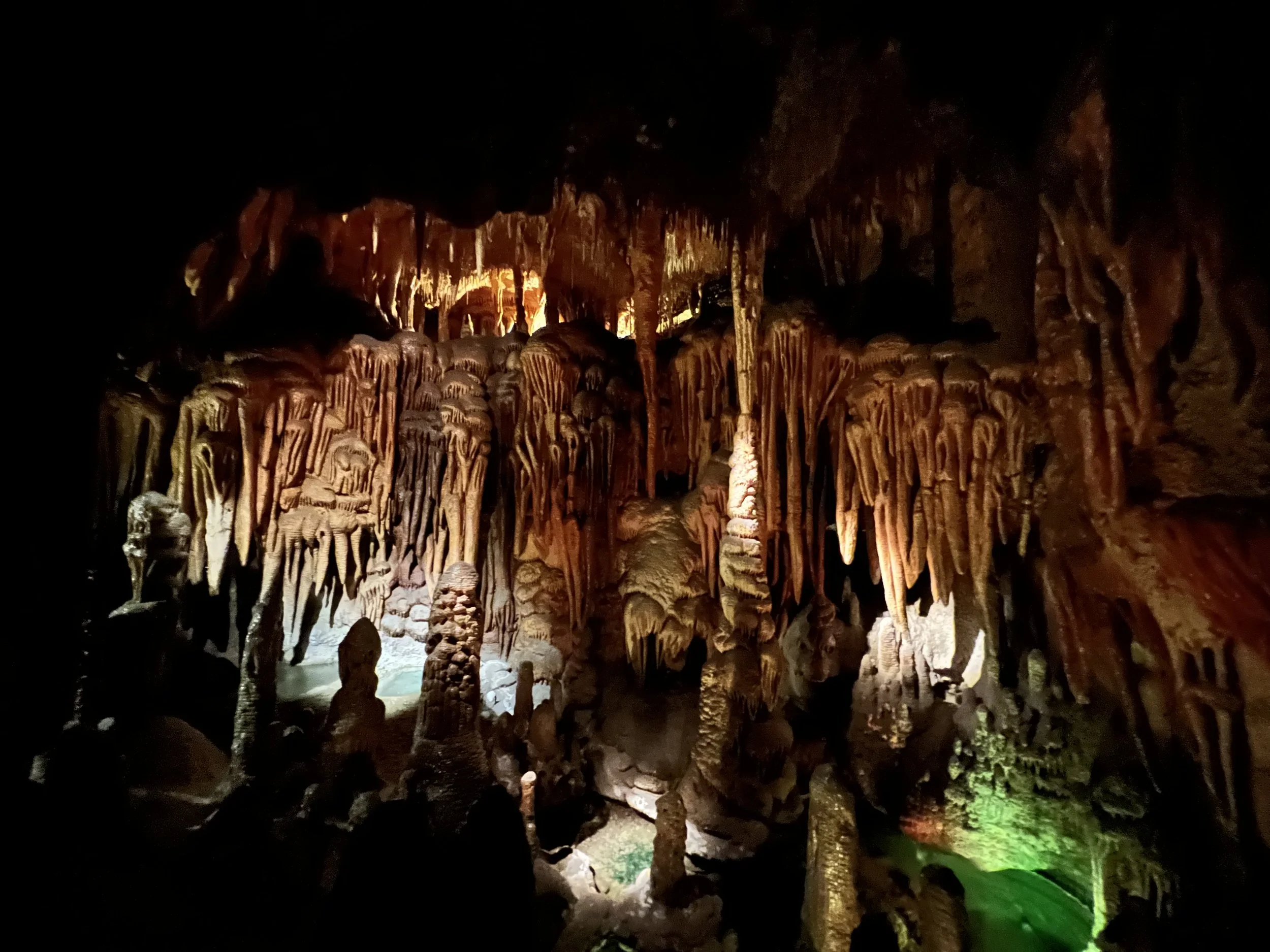
Kartchner Caverns State Park features a show cave with 2.4 miles of passages.
Long hidden from view, the caverns were discovered in 1974 by local cavers, assisted by state biologist, Erick Campbell, who helped in its preservation. It encompasses most of a down-dropped block of Palaeozoic rocks on the east flank of the Whetstone Mountains.
The caverns are carved out of limestone and filled with spectacular speleothems, which have been growing for 50,000 years or longer, and are still growing.
Ride a Horse at the Double R Guest Ranch
Per their site, “Horseback riding is our speciality, our experienced staff, well mannered horses and spectacular scenery make for an unforgettable experience. Ride with us in the mountains that were the homelands to Apache chiefs Geronimo and Cochise.”
San Pedro Golf Course
Per their site, “San Pedro Golf Course, an 18 hole-championship course built in 2003, is located 30 miles southeast of Tucson, Arizona. Owned and operated by the City of Benson, San Pedro is a public course that provides great golf for all experience levels at an affordable price. A true links style front nine winds you through mesquite groves along the San Pedro River while the back nine plays through canyons, giving the course a unique “river-wilderness” terrain.”
Singing Wind Bookshop
Located on a working cattle ranch, The Singing Wind Bookstore is over 40 years old and specializes in books that celebrate the culture and writers of the southwest, including non-fiction, fiction, journalism, and more.
Winifred Bundy and her husband purchased the Singing Wind Ranch in 1956 and after completion of a Master’s Degree in library science and working to compile all the inventory, the Singing Wind Bookstore opened its doors in 1974.
Bundy knows just about every regional author around, and her shop sells signed copies of most of her books. The shelves aren’t labeled, and visitors must rely on a tour from Bundy or one of her staff to find what they are looking for.
The Thing
Imagine a place where dinosaurs and aliens coexisted. It’s “believed” an alien species ruled the planet, using dinosaurs as their wartime “method of transportation”, as well as continued to have a dominating “presence” over world leaders (such as Winston Churchill). The Thing museum takes you on a fascinating (and rather involved) journey of how all of this happened. Is the miner holding a tiny alien or a baby? No one knows…
Bisbee
Type of Visit: Historical - A haunted mining town well worth the trip!
In 1877, a reconnaissance detail of U.S. army scouts and cavalrymen was sent to the Mule Mountains to search the area for renegade Apaches. What civilian tracker, Jack Dunn, found instead, were signs of mineralization indicating the presence of lead, copper, and possibly silver. The first mining claim was staked in what would later become the City of Bisbee. The filing of this claim, and a multitude of others, sent prospectors and speculators scurrying to the Mule Mountains in hopes of striking it rich. Numerous ore bodies were located, and Bisbee soon became known as the "Queen of the Copper Camps."
By the early 1900's, driven by the booming mining industry, Bisbee had become the largest city in the Arizona territory. With a population of over 20,000 in 1910, Bisbee was one of the most cultured cities in the west. The town is still home to the the nation’s (arguably) oldest ballfield (Warren Ballpark), and was the site of Arizona’s first golf course (Turquoise Valley, now an RV park). The state's first community library (Copper Queen) dates from this period, and is still in operation,
Along with Bisbee's cosmopolitan character, the colorful, rough edges of the mining camp could still be found in the notorious Brewery Gulch, with its saloons and brothels. In its heyday, the Gulch boasted nearly 50 saloons and was considered the one of the liveliest spots in the west. Historic taverns still retain the rich character and boom-town flavor of this period.
Aside from the notorious anti-labor crime, involving the illegal kidnapping and deportation of about 1,300 striking mine workers, their supporters, and citizen bystanders in 1917, the mining town was booming. During the “life” of the town and almost a century of mining, 8 billion pounds of copper, 102 million ounces of silver, and 2.8 million ounces of gold, along with millions of pounds of zinc, lead and manganese were produced. By 1974, ore reserves had been depleted and in 1975, operations ceased. Today, it’s a culturally rich town with a lot to see and do!
NOTE: A fire at the end of 2023 caused a lot of damage to the town. It is worth calling ahead to make sure what you want to see & do is still open.
where to Stay
where to DIne & drink
Bisbee Social Club (Speakeasy)
Things to See/Do
Bisbee Restoration Museum
Their mission is to preserve our historic building and museum collection using the best conservation practices available and to educate our residents, students, and visitors about Bisbee's unique history through displays, topical speakers, and special events.
Copper Queen Mine
The story of Bisbee mining began in the late 1870’s when Lt. Dunn, in charge of a cavalry detail from the frontier Army post of Fort Huachuca, was on a scouting mission against the Apache Indians. Lt. Dunn and his men headed for a spring in the Mule Mountains to camp for the night. The party camped on a spot of fairly flat ground in the canyon below the spring—a site now occupied by Old Bisbee, only several hundred yards from the beginning of today’s Mine Tour.
On a walk after dinner, Lt. Dunn picked up an interesting rock. He found a few more pieces along the slope of the south wall of the canyon. Unable to do anything about it because of military duties, Dunn took a prospector by the name of George Warren into his confidence and struck up a deal by which Warren would locate claims and work the property with Dunn as a partner. But on his way to the site, prospector Warren stopped to visit some friends and enjoy his favorite pastime—whiskey drinking. He soon has new partners and they staked a new group of claims and left Dunn out of the deal. When Dunn came along later to check, he was on the outside looking in.
Copper production began on a limited basis around 1880. Individuals and then companies with capital gradually became involved and took over individual claims and brought them into production. Phelps Dodge Corporation, through a subsidiary the Copper Queen Consolidated Mining Company, became the dominant force and eventually the sole operator of the mining district. Building on its base in Bisbee, Phelps Dodge had long been one of the largest copper producers in the United States. The mines closed in 1975 however, Phelps Dodge wanted people to be able to tour the mine and built a town around it to boost tourism.
Eerie Street (old Lowell)
Erie Street is most of what is left of Lowell, Arizona, a mining town incorporated into Bisbee in the early 1900s. Much of the town’s residential area was demolished to widen an open-pit copper mine, which meant losing residents, causing the commercial district to struggle and businesses to fail. Today, the street’s special curiosities include a Harley Davidson repair shop with a now-defunct gas pump, and Sprouse Reitz Co. - a department store that is nearly empty except for a few appliances and a whole bunch of mannequin parts.
Despite appearing untouched since its decline, Erie Street has volunteers that lovingly restore the town bit by bit. So although you can no longer see a show at Lowell’s movie theater or pay $0.22 for gasoline, the Lowell Americana Project has made it possible to experience the street as a living snapshot of another time.
Lavender Pit
The Lavender Pit is a former open pit copper mine near Bisbee, located near the famous Copper Queen Mine. The Lavender Pit was named in honor of Harrison M. Lavender (1890–1952), who as Vice-President and General Manager of Phelps Dodge Corporation, conceived and carried out this plan for making the pit a profitable copper ore one, in 1950.
Until the mine’s close in 1974, 86 million tons of ore was mined, averaging about 0.7% copper, or about 600,000 tons of copper produced, with gold and silver as byproducts. About 256 million tons of waste were stripped, but a portion of this was acid-leached for additional copper. Turquoise was also a by-product of this mining activity. Bisbee turquoise, also known as Bisbee Blue, is amongst the finest turquoise found anywhere in the world.
Because of the competent host rock, this pit has much steeper sides than other open pit copper mines in the southwest area. The pit covers an area of 300 acres and is 900 feet deep.
The Bisbee Seance Room
Join your host, MAGIC KENNY BANG BANG, as you are whisked back in time in his cozy Victorian parlor for an intimate, one hour magic show and introduction to the mysterious history of Bisbee, Arizona, one of the most haunted towns in America.
Carefree/Cave Creek
Type of Visit: Historical - do you know how many celebrities live around here?
In early October of 1870, the commanding officer of the Arizona army, Colonel George Stoneman, was advised of a potential shortcut to the Capital- an established Native American trail, which provided a flowing creek, at least two natural springs, and an abundance of tall grass for the hungry and tired horses. This short-cut and place of respite eventually became the town of Cave Creek!
How did it get its full name though? The Apaches felt the cave in the areas was a secure place to store food and erect their temporary brush and branch shelters called wickiups. Christmas morning, 1873, the Cavalry opened fire, leaving nine Apaches dead, including their Chief, Nanotz. Tons of winter food was burned. The Cavalry’s mantra of “surrender or starve” was duly executed. The message was clear: Cave Creek was going to be settled.
Shortly thereafter, miners and ranchers moved in - the former spending nearly 30 years mining the area, and the latter growing their ranches to monumental sizes.
Boom times came to Cave Creek between 1935 and 1943 with the construction of the Bartlett and Horseshoe Dams, both on the Verde River. There was a proliferation of new saloons, liquor stores, and restaurants. This money-flowing environment facilitated what is now Cave Creek’s oldest business - Cave Creek Corral (and in 1950, Harold’s Cave Creek Corral). This rustic and classic western bar was started in 1936 by Johnny Walker (no, not that one). The original 1880s mahogany bar, purchased by Johnny Walker, came from the Crystal Palace Saloon, in Tombstone, Arizona. Although a non-drinker, the legendary Wyatt Earp probably had coffee at this bar. In recent years, former local resident, Dick Van Dyke, could be found on stage, entertaining star-struck and very appreciative locals.
Where to Stay
(Note: All of these are in North Scottsdale, which is a short drive to the Carefree/Cave Creek area.)
where to Dine & Drink
Janey’s Coffee House - Has live music
Things to See/Do
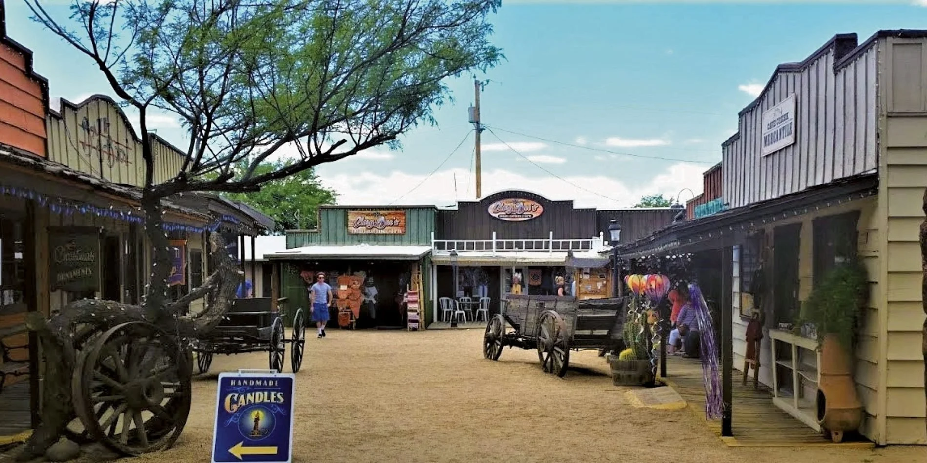
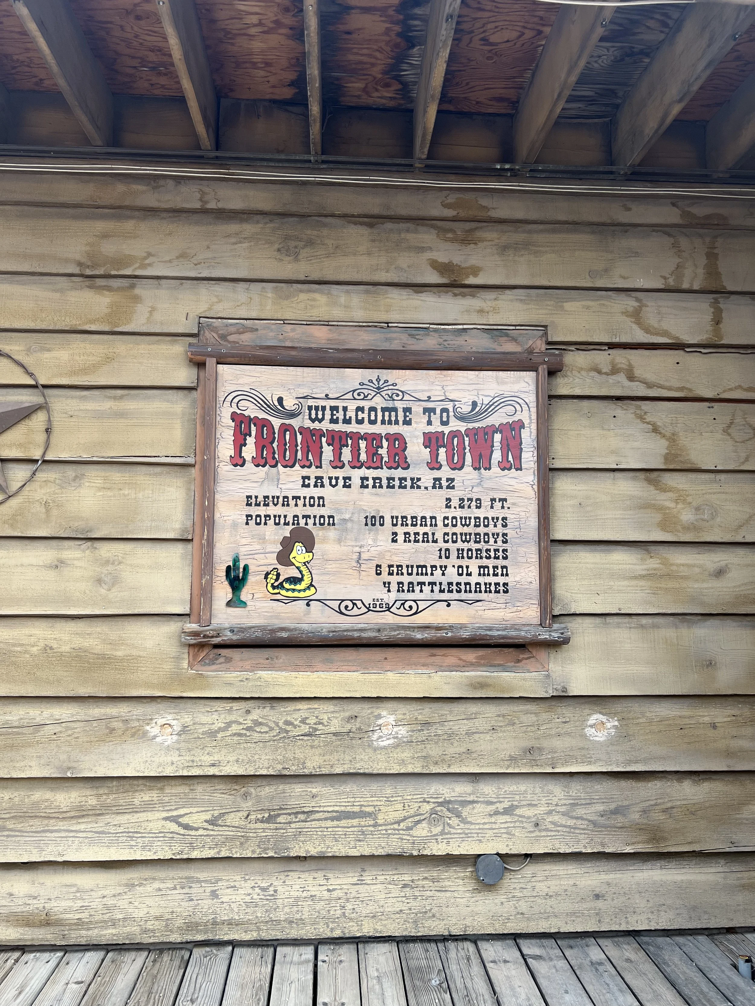
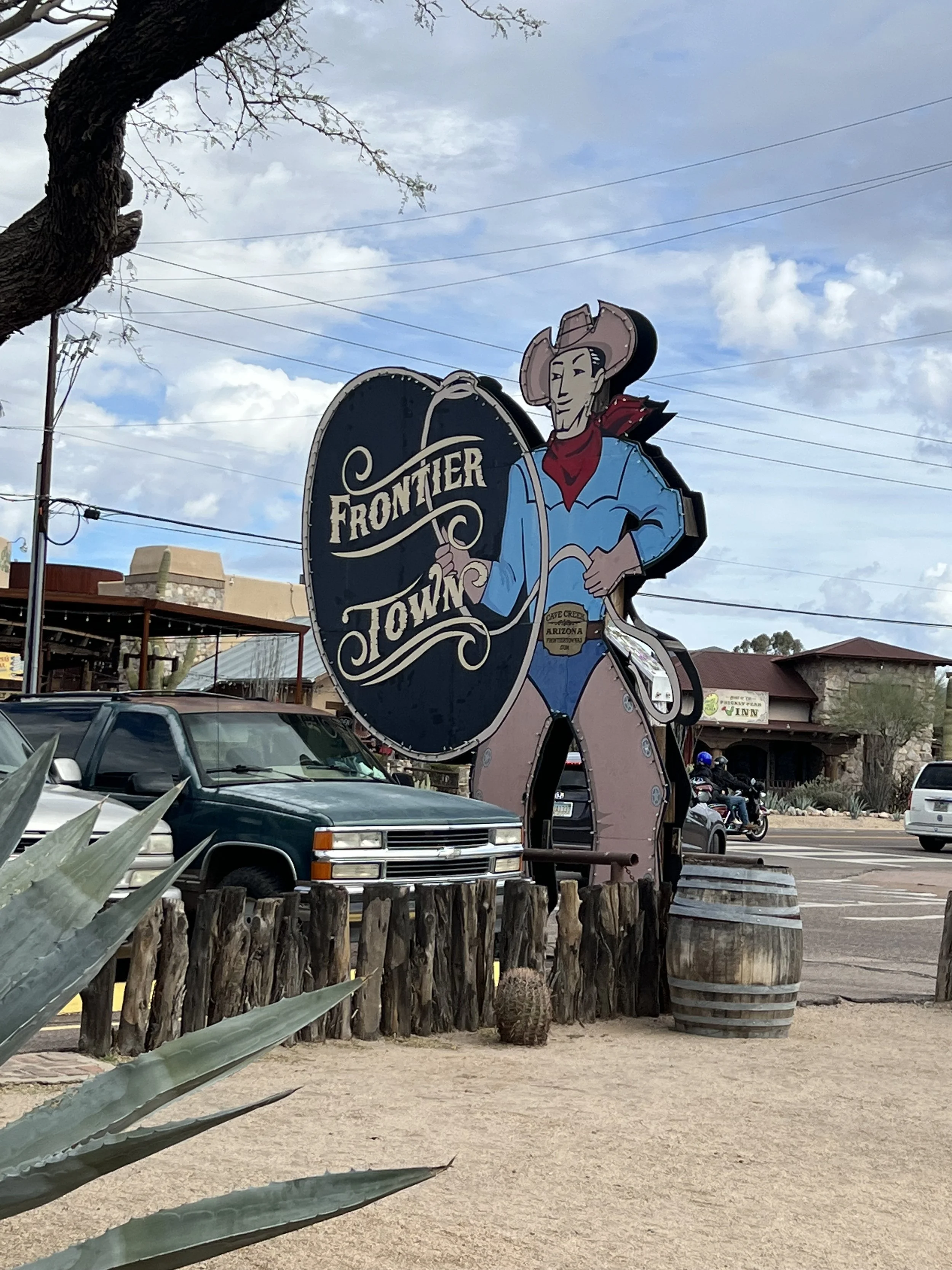
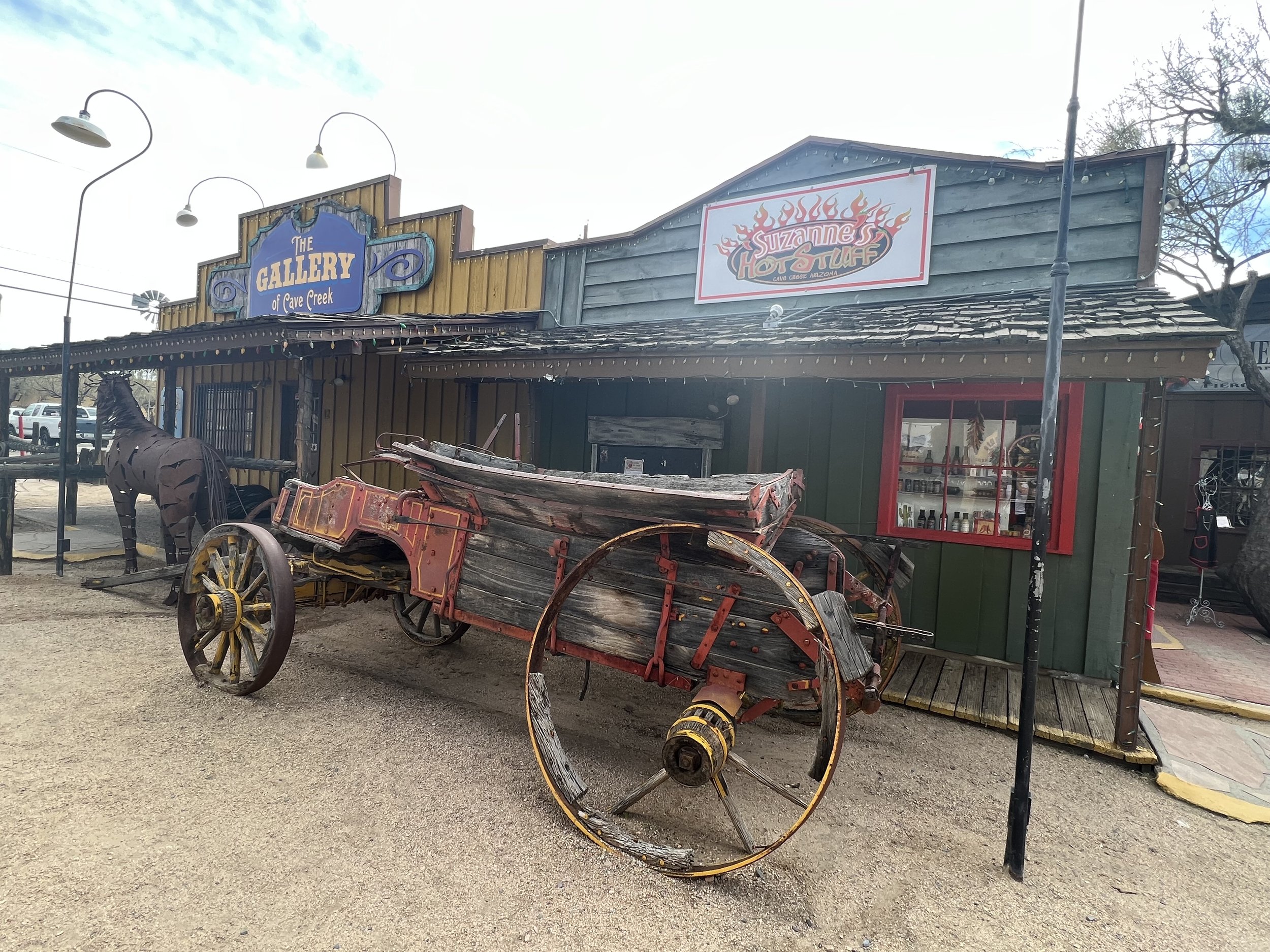
Frontier Town
Frontier Town is one of Arizona’s only remaining western town destinations. Being in Cave Creek before the town was incorporated, Frontier Town has been serving tourists a taste of the original old west for more than 50 years!
Casa Grande
Type of visit: Historical - who doesn’t love ancient ruins and a neon graveyard?!
Casa Grande was founded in 1879 during the Arizona mining boom, specifically due to the presence of the Southern Pacific Railroad. In January 1880, the community of Terminus, meaning "end-of-the-line," was established despite consisting of just five residents and three buildings. In September 1880, railroad executives renamed the settlement “Casa Grande”, after the Hohokam ruins at the nearby Casa Grande Ruins National Monument. The town grew slowly and suffered several setbacks, both in 1886 and 1893, when fires ravaged the town, destroying all wooden housing structures within it. When the mining boom slowed in the 1890s, the town was nearly abandoned, but with the advent of agriculture, the town remained alive and well (it developed into a collective farm society), and was eventually incorporated in 1915..
During World War II, from 1942 to 1945, a Japanese-American relocation camp was set up outside of Casa Grande, known as the “Gila River War Relocation Center”. Two notable people that were interned there were future actor Pat Morita and baseball player Kenichi Zenimura, who constructed a baseball field and set up a league in the relocation camp. This, in turn, created the former spring training location for the San Francisco Giants, with the first exhibition game played in the town, in 1961, with Willie Mays hitting a 375-foot home run. Today, the site is the home of the Francisco Grande Hotel & Golf Resort.
Where to stay
This town is more of a day trip than a place you want to stay overnight in. Think: Many truckers stay there for the night and they are giving bad reviews of the hotels and motels in the area. However, if you choose to stay, below are three options that are clean and affordable:
where to Dine & Drink
Things to See & Do
Casa Grande Mountain Park Public Shooting Range
The Elzy Pearson public shooting range features five shooting bays. Bays are available on a first-come, first-serve basis for public use or users are able to make a reservation through a permit, which ensures the exclusive use of a particular bay. Businesses or organizations providing instructional teaching, or special events are required to reserve bays a minimum of seven business days in advance and provide general liability insurance, business license, a trained range safety officer(s), and follow all Federal, state, and local firearm laws.
Casa Grande Ruins
The national monument consists of the ruins of multiple structures surrounded by a compound wall, constructed by the ancient people of the Hohokam period, who farmed the Gila Valley in the early 13th century. Archeologists discovered evidence that the ancient Sonoran Desert people, who built the Casa Grande, also developed wide-scale irrigation farming and extensive trade connections which lasted over a thousand years until about 1450 CE.
"Casa Grande” ("big house") refers to the largest structure on the site, which is what remains of a four-story structure that may have been abandoned by 1450. The structure is made of caliche, and has managed to survive the extreme weather conditions for over 500 years.
Caywood Farms (cotton farming)
Caywood Farms is a fourth-generation, family-operated farming business located near Casa Grande. In addition to the production of cotton and forage crops, our family also runs cotton farm tours on a seasonal basis.
Horseshoe Park & Equestrian Center
Per their website, “This majestic, 38 acre facility, located in the Phoenix metropolitan area, provides ample opportunity for events of both the English and Western equestrian persuasion, as well as Vendor Fairs, Concerts, and Rodeos.”
Neon Sign Park
The Casa Grande Neon Sign Park received a grant from the American Express Partners in Preservation program, a partnership of the National Trust for Historic Preservation and The American Express Foundation. Casa Grande Main Street took second place among 25 cities nationwide and was awarded $144,000 in January 2018. Funding provided for restoration of 14 vintage and neon signs, installation and landscaping in the Arizona Plaza site in Historic Downtown, owned by the Kramer Family of Casa Grande Valley Newspapers Inc.
Picacho Peak State Park
Picacho Peak State Park is a state park surrounding Picacho Peak in Picacho, Arizona. The park is located between Casa Grande and Tucson, near Interstate 10 in Pinal County. Its centerpiece spire is visible from downtown Tucson, a distance of 45 miles. The summit rises to 3,374 feet above mean sea level. Though appearing to be the remnant of a volcanic neck, it is now believed to be a tilted and eroded piece of rock overlain by a lava flow.
Pinal County Historical Museum
Established in 1958, Pinal County Historical Museum is the oldest historical organization in Pinal County. We preserve Florence and Pinal County's fascinating history through exhibitions and educational programming. Our museum houses a diverse research collection, providing opportunities for academic and community-based research, as well as creating exhibitions, programs, and events.
Rooster Cogburn Ostrich Ranch
Per their website, “You might have seen us on any number of TV shows such as “Larry the Cable Guy – Only in America”, “Extreme Roadside Attractions”, “Chef vs City”, “Amazing Animals”, “Arizona Highways”, and many more but there is no substitute for experiencing it up close and personal. Rooster Cogburn Ostrich Ranch is a three generation family owned and operated working ostrich ranch.
We have been open to the public since 1999 when it was just the ostrich to feed. Nowadays, however, there are lots of critters to feed! Joining the ostrich are Miniature Sicilian Donkeys, Nigerian Dwarf Goats, Fallow Deer, Peking Ducks, “The Goat Penthouse” and the “Hole in the Wall Gang” featuring Boer Goats, and the all-time favorite Rainbow Lorikeets. There is something for everyone here and more fun than you can imagine. Affordable family fun for all ages. Amusement parks and outdoor recreational activities.”
The Museum of Casa Grande
Per their website, “The Casa Grande Valley Historical Society was founded in 1964 to preserve and exhibit the history of the Casa Grande region. We invite you to explore The Museum of Casa Grande to experience the early days of Arizona. Scroll down to learn more about our programs, collections, neighboring museums, and local culture. “
Western Trading Post
Western Trading Post preserves and perpetuate the rich Western History and lifestyle as a family-owned and operated Auction and Gallery. The business originally started as an authentic old-time Trading Post, which can trace its roots back to 1877, in Arizona. They specialize in Western Americana, Vintage Turquoise Jewelry, Firearms, Southwestern Antiques, Art and other collectibles.
Cornville
Many centuries ago, this land was inhabited by ancient Indian civilizations that were attracted to the fertile soil and abundance of wildlife. The ancient Sinagua Indians mysteriously disappeared from the area about 800 years ago. Most historians believe they were the ancestors of today's Indian Tribes that still reside in the Verde Valley. Later, the Spaniards came exploring in search of gold and silver only to move on in search of greater riches. In the early 1800s, white settlers began migrating to the area - some looking for gold while others were just flexing their pioneering spirit.
Fun fact: The town got its current name due to an error committed by the U.S. Post Office Department in Washington, D.C. The original name for the location was “Pitchner Place”, and a post office was established in 1885. As a settlement formed around the site, the residents figured Pitchner Place didn’t have the proper appeal so they suggested that it be called “Coaneville”, for a pioneer family named “Coane”. The name was submitted to the powers-that-be in Washington, but when the approval was granted, it came out as “Cornville”. And it’s been that way ever since.
Check out G’s Burgers
Cornville is a blink-and-you-miss-it town, straight across from Cottonwood, and very near to Sedona and Jerome. It’s mostly ranches in this community with one hidden dining spot: G’s Burgers. They do serve gluten-free buns if you have dietary restrictions with wheat.
Cottonwood
Click here to review our guide on how to have the best day there!
Flagstaff
Kind of Visit: Outdoor adventures, historical
Established as a modern settlement in 1876, and incorporated as a city in 1928, the land had previously been lived on by native peoples of the southwest, primarily the Sinagua. Mountaineer Antoine Leroux then traveled the area, with Edward Fitzgerald Beale following in his footsteps, and establishing a trail through the city in the mid-1800s. With a local spring, a small settlement grew by the wagon road, and the town was dominated by the McMillan, Riordan, and Babbitt families. Focused on agricultural pursuits, these families constructed some historic red stone buildings that still stand today.
Beale's trail was replaced with cross-country railroads and highways, including Route 66. This expanded tourism (a main draw of the city is its location surrounded by sites of natural wonder, including the Grand Canyon) was cause for an economic boost even through the Great Depression, before overpopulation and poor infrastructure led to the city's decline. A heritage project revitalized the city in the 1990s, developing it into a downtown culture.
Where to Stay
(Note: A lot of people stay in Sedona and drive to Flagstaff for the day.)
High Country Motor Lodge - Don’t let the name fool you. This brand new boutique hotel also has a Nordic spa!
Where to Dine & Drink
Monte Vista Lounge - Live music
Things to See & Do
Coconino Lava River Cave
Lava River Cave is a lava tube in northern Arizona's Coconino National Forest. At approximately 0.75 miles long, it is the longest cave of its kind known in Arizona.
The cave was discovered by some lumbermen in 1915 and has historically been referred to as "Government Cave", due to its location on the eastern edge of Government Prairie and southeast of Government Peak. Today, Lava River Cave is freely accessible to the general public.
Grand Falls - Just east of Flagstaff in Leupp
Grand Falls is a natural waterfall system located 30 miles northeast of Flagstaff in the Painted Desert, on the Navajo Nation. It is also called “Chocolate Falls” because of the color.
It dumps snow melt or seasonal rain into the Little Colorado River below. It is known for its extremely muddy flow, which is a major contributor of Little Colorado River opacity. Heavy rains or snow melt will produce spectacular viewing, photography, and sound, whereas a scarcity of water will produce only trickles or no flow at all.
Historic Downtown
Historic downtown is teeming with shops, restaurants, cafes, and events (seasonal-dependent). It’s a great way to spend a day!
Lowell Observatory
Lowell Observatory is an astronomical observatory, established in 1894, placing it among the oldest observatories in the United States, and was designated a National Historic Landmark in 1965. In 2011, the Observatory was named one of "The World's 100 Most Important Places" by Time Magazine. It was at the Lowell Observatory that the dwarf planet, Pluto, was discovered in 1930 by Clyde Tombaugh.
Meteor Crater Natural Landmark
Meteor Crater is an impact crater about 37 mi east of Flagstaff and 18 mi west of Winslow, in the desert of northern Arizona. It lies at an elevation of 5,640 ft above sea level and is about 3,900 ft in diameter by 560 ft. deep, and is surrounded by a rim that rises 148 ft (45 m) above the surrounding plains.
Despite an attempt to make the crater a public landmark, the crater remains privately owned by the Barringer family to the present day, through their Barringer Crater Company. The Lunar and Planetary Institute, the American Museum of Natural History, and other science institutes proclaim it to be the "best-preserved meteorite crater on Earth". It was designated a National Natural Landmark in November 1967.
Walnut Canyon National Monument
Walnut Canyon National Monument is a United States National Monument located about 10 mi. southeast of downtown Flagstaff, near Interstate 40. The canyon rim elevation is 6,690 ft , and the canyon's floor is 350 ft lower. A 0.9 mi long loop trail descends 185 ft into the canyon, passing 25 cliff dwelling rooms, constructed by the Sinagua, - a pre-Columbian cultural group that lived in Walnut Canyon from about 1100 to 1250 AD.
Grand Canyon
Kind of Visit: Outdoor adventures
The known human history of the Grand Canyon area stretches back 10,500 years, when the first evidence of human presence in the area was found. Native Americans have inhabited the Grand Canyon and the area, now covered by Grand Canyon National Park, for at least the last 4,000 of those years. Ancestral Pueblo peoples, first as the Basketmaker culture and later, as the more familiar Pueblo people, developed from the Desert Culture as they became less nomadic and more dependent on agriculture. A similar culture, the Cochimi also lived in the canyon area. Drought in the late 13th century likely caused both groups to move on. Other people followed, including the Paiute, Cerbat, and the Navajo, only to be later forced onto reservations by the United States Government.
In September 1540, Captain García López de Cárdenas led a party of Spanish soldiers, with Hopi guides, to the Grand Canyon in search of gold. More than 200 years passed before two Spanish priests became the second party of non-Native Americans to see the canyon. U.S. Army Major John Wesley Powell led the 1869 Powell Geographic Expedition through the canyon on the Colorado River. In the late 19th century, the promise of mineral resources—mainly copper and asbestos—renewed interest in the region. The first pioneer settlements along the rim came in the 1880s.
Early residents soon realized that tourism was destined to be more profitable than mining, and by the turn of the 20th century, the Grand Canyon was a well-known tourist destination. Most visitors made the gruelling trip from nearby towns to the South Rim by stagecoach. In 1901, the Grand Canyon Railway was opened from Williams, Arizona, to the South Rim, and the development of formal tourist facilities, especially at Grand Canyon Village, increased dramatically. The Fred Harvey Company developed many facilities at the Grand Canyon, including the luxury El Tovar Hotel on the South Rim, in 1905, and Phantom Ranch in the Inner Gorge, in 1922. Although first afforded federal protection in 1893 as a forest reserve and later as a U.S. National Monument, the Grand Canyon did not achieve U.S. National Park status until 1919, three years after the creation of the National Park Service.
Where to Stay
NOTE: Many people stay in Flagstaff and take day trips to the Grand Canyon.
Amangiri - If it’s good enough for Tiesto’s wedding…
Luxury Skydome - Located 20 minutes from the South Rim
The Grand Hotel at the Grand Canyon (Grand Canyon Village)
WHERE to Dine & Drink
Arizona Steakhouse (South Rim)
Caverns Grotto - Dine 200 ft. underground in the Grand Canyon!
The Sky View Restaurant (West Rim)
Things to See & Do
Antelope Canyon (MUST-SEE)
Navajo Upper Antelope Canyon is a slot canyon in the American Southwest, on Navajo land east of Lechee, Arizona. It includes six separate, scenic slot canyon sections on the Navajo Reservation, referred to as Upper Antelope Canyon (or The Crack), Rattle Snake Canyon, Owl Canyon, Mountain Sheep Canyon, Canyon X and Lower Antelope Canyon (or The Corkscrew). It is the primary attraction of Lake Powell Navajo Tribal Park, along with a hiking trail to Rainbow Bridge National Monument.
The Navajo name for Upper Antelope Canyon is Tsé bighánílíní, which means 'the place where water runs through the (Slot Canyon) rocks'. Lower Antelope Canyon is Hazdistazí or 'spiral rock arches'. Both are in the LeChee Chapter of the Navajo Nation. They are accessible by Navajo guided tour only.
Desert View Watchtower (South Rim)
Desert View Watchtower, also known as the Indian Watchtower at Desert View, is a 70 ft.- high stone building, located on the South Rim of the Grand Canyon within Grand Canyon National Park in Arizona. The tower is located at Desert View, more than 20 miles to the east of the main developed area at Grand Canyon Village, toward the east entrance to the park. The four-story structure, completed in 1932, was designed by American architect Mary Colter, an employee of the Fred Harvey Company who also created and designed many other buildings in the Grand Canyon vicinity, including Hermit's Rest and the Lookout Studio.
Grand Canyon Railway
The Grand Canyon Railway is a heritage railroad, which carries passengers between Williams, Arizona, and the South Rim of Grand Canyon National Park.
The 64-mile railroad, built by the Atchison, Topeka and Santa Fe Railway, was completed on September 17, 1901. The arrival of trains led increased tourism to the area, and the railway company was instrumental in the creation of the Grand Canyon Village to serve guests. However, due to the increased usage of the automobile led the Atchison, Topeka and Santa Fe Railway to cease passenger service of the Grand Canyon Railway in July 1968 and freight service on the line ended in 1974. Private investors purchased the line in 1988, restored the facilities, and started running passenger trains again on September 17, 1989. Today, the railroad carries hundreds of passengers to and from the canyon every day and operates year-round.
The entire Grand Canyon Railway has been added to the National Register of Historic Places, recognizing the contribution the train has made to the history of the United States.
Grand Canyon Skywalk
The Grand Canyon Skywalk is a horseshoe-shaped cantilever bridge, with a glass walkway, at Eagle Point, in Arizona, near the Colorado River, on the edge of a side canyon in the Grand Canyon West area of the main canyon. It opened as a tourist attraction in 2007, located outside the boundaries of the Grand Canyon National Park.
USGS topographic maps indicate the Skywalk's elevation as 4,770 ft above sea level. The elevation of the Colorado River at the base of the canyon below is 1,160 ft. The vertical drop, directly below the skywalk is 500 to 800 feet.
NOTE: If you’d like a tour guide of the area with a stop at the skywalk, click here.
Grand Canyon Village
Grand Canyon Village, located on the South Rim of Grand Canyon National Park, is where most visitors head to admire the canyon. Sites and attractions add a bit of entertainment to the Grand Canyon's splendor.
Hackberry General Store
Originally operated by the Route 66 artist, Bob Waldmire, who traveled the road in his orange 1972 Volkswagen Microbus, the Hackberry General Store is a favored stop among travelers of Old 66. Bob was the unofficial inspiration of Fillmore in the Disney/Pixar movie Cars.
Photo ops abound around Hackberry; a rustic store front, the tin-can billboard, nostalgic gas pumps, craggily mountain faces, old blacktop and scenic vistas.
Havasupai Canyon & Falls
Havasu Falls is the more famous and most visited of the various falls along Havasu Creek. It consists of one main chute that drops over a 90-to-100-foot vertical cliff into a series of plunge pools. High calcium carbonate concentration in the water creates the vivid blue-green color and forms the natural travertine dams that occur in various places near the falls.
Due to the effects of flash floods, the appearance of Havasu Falls and its plunge pools has changed many times. Prior to the flood of 1910, water flowed in a near continuous sheet and was known as Bridal Veil Falls. The notch through which water flows first appeared in 1910, and has changed several times since. Water currently flows as one stream. In the past, there were sometimes multiple streams, or a continuous flow over the edge.
NOTE: A little over an hour from the Grand Canyon and completely worth the trip!
Historic Navajo Bridge
Navajo Bridge is the name of twin steel spandrel arch bridges that cross the Colorado River in the Grand Canyon National Park. The newer of the two spans carries vehicular traffic on U.S. Route 89A over Marble Canyon, between Bitter Springs and Jacob Lake, allowing travel into a remote Arizona Strip region north of the Colorado River, including the North Rim of Grand Canyon National Park.
Prior to completion of the first Navajo Bridge, one of the only Colorado River crossings between Arizona and Utah was located about 5 miles upstream from the bridge site, at the mouth of Glen Canyon where Lees Ferry service had operated, since 1873. By the 1920s, automobile traffic began using the ferry, though it was not considered a safe and reliable crossing, due to adverse weather and flooding regularly preventing its operation.
The bridge was officially named the “Grand Canyon Bridge” when it was dedicated on June 14–15, 1929. The state legislature changed the name to “Navajo Bridge” five years later, in 1934. The original bridge was closed to vehicular traffic after the new span opened in 1995. The old span is still open for pedestrian and equestrian use.
Horseshoe Bend
Horseshoe Bend is a horseshoe-shaped incised meander of the Colorado River, located near the town of Page. It is also referred to as the "east rim of the Grand Canyon."
It is located 5 miles downstream from the Glen Canyon Dam and Lake Powell, within Glen Canyon National Recreation Area, about 4 miles southwest of Page. It is accessible, via hiking a 1.5-mile round trip from a parking area just off U.S. Route 89, within southwestern Page. The land south of the Bend's parking area, trail, and overlook are on the Navajo Nation territory
NOTE: About a 1-hour drive from the Grand Canyon and is a must-see!
See the Grand Canyon (North Rim)
TIP: Visit “Bright Angel Point”, Angels Window and Cape Royal, and Point Imperial.
See the Grand Canyon (South Rim)
TIP: Visit Mater Point, Lower Tunnel, via the Bright Angel Trail; Grandview Point, and Hermits Rest Road.
NOTE: If you’d like a sunset tour for amazing pictures, click here.
Take a Mule Ride down the South Rim
The Wave
A 1-hour drive from Grand Canyon, but requires a permit to access. It’s one of the most Instagrammable places in the country!
Jerome
Click here to review our guide on how to have the best day there!
Kingman
Kind of Visit: Historical - This railroad town not only hosted Clark Gable’s wedding, it was also the scene of a lot of typical western stories, i.e. bandits.
In October 1857, Lt. Edward Fitzgerald Beale and his experimental Camel Corps trudged across the present site of Kingman, Arizona surveying a wagon road along the 35th parallel. After they encountered hostile Indians in the area, Fort Mojave was established on the Colorado River, which during that time, off-duty soldiers scouted the hills and found gold and silver. It’s because of this that mining camps sprang up in the years to come and in the early 1870's, cattle were driven in to take advantage of the lush grasses.
Located in a natural basin, surrounded by basaltic hills, it is ironic that Kingman was not established as a mining town but as a railroad town. In 1880, Lewis Kingman surveyed along the Atlantic and Pacific right of way between Needles and Albuquerque. By 1883, the track was completed and as a result, the town grew rapidly in the first few years. More growth was encouraged by the move of the Mohave County Miner in 1886 to Kingman.
where to stay
where to Dine & Drink
Mr. D’z Route 66 Diner - Oprah and Gayle King have dined there.
Things to See & Do
Bonelli House
The original Bonelli House was built in 30 days at the end of 1894. George A. Bonelli paid $40 for the corner property on which it sat in downtown Kingman. It is now part of the City Complex. This original house was a gift for his bride, Effie Ellen Tarr, who he married on January 1, 1895. Their wedding took place in the Methodist Church directly across the street. George’s penchant for the latest innovation drove him to install electrical wiring in their two-story, wooden home.
Twenty years later, on January 29, 1915, a suspected electrical short in the wiring on the second floor destroyed the house. All escaped to safety but the Bonelli family lost most of their possessions. The few items that did survive were left for the museum and are now on display in the house.
Their second home, located at the corner of 5th and Spring Streets, was completed October 1915, after nine months of labor. Now preserved and protected under the care of the City of Kingman, the house provides an excellent example of Anglo-territorial architecture, as well as the lifestyle of a prominent Arizona family at the turn of the 20th century.
Desert Diamond Distillery
Established 2009, and a 2023 Gold Medal Winner IWSC 99, they distill Arizona Straight Whiskey. They are 100% fermented, distilled, aged, and bottled on site.
TIP: Drive along Rte. 66 - this is the route you would take into Kingman, Needles, and Bullhead City anyway.
Hackberry General Store
Originally operated by the Route 66 artist, Bob Waldmire, who traveled the road in his orange 1972 Volkswagen Microbus, the Hackberry General Store is a favored stop among travelers of Old 66. Bob was the unofficial inspiration of Fillmore in the Disney/Pixar movie Cars.
Photo ops abound around Hackberry; a rustic store front, the tin-can billboard, nostalgic gas pumps, craggily mountain faces, old blacktop and scenic vistas.
Historic Route 66 Museum
Located on the second floor of the Powerhouse Building, our historic museum, this collection has been a stopping point for thousands of visitors, who arrive from around the world, to travel on Route 66 for adventure and education.
Their small theater features a one-hour movie that tells the the story of Route 66 in Arizona. The Electric Car Museum, recently includes a fascinating selection of electric vehicles, such as race cars, motorcycles, and autos—both old and new.
Oatman Ghost Town + Area 66
About an hour from the Nevada border and 30 minutes from Kingman, this tiny “ghost town” comes with a whole lot of history and… wild donkeys! Click on the link abovew to learn more about our experiences there!
Leupp
The Navajo and their ancestors occupied Leupp (pronounced “loop”) area for thousands of years. In 1868, they were forced, by the United States, to agree to a reservation, which was within the New Mexico Territory until 1912. After Arizona and New Mexico were admitted as states, the reservation extended across their common border.
In 1902, an Indian boarding school was constructed here, administered by the Bureau of Indian Affairs. It had been closed before the U.S. entry into World War II. In 1942, the facility was converted for use as the “Leupp Isolation Center”, designed to detain Japanese and Japanese-American internees from the several larger internment camps, established by the War Relocation Authority, to hold citizens and immigrants from the West Coast. They were sent here if characterized as troublemakers; some were men trying to regain their rights as American citizens.
where to Stay
There are no hotels in Leupp - any hotel around Flagstaff (3 hours), Grand Canyon (2 hours), or any of the state parks would be best.
where to Dine & Drink
There are no dining establishments in Leupp, so make sure to bring food and drink with you!
Things to See & Do
Apache Death Cave
In 1878, a group of Apache raiders attacked a Navajo encampment near the Little Colorado river. Almost every Navajo man, woman, and child was killed in the raid. When the Apache finished looting the encampment, only three girls remained and they were swiftly taken prisoner by the Apache.
When the Navajo leaders got word of this attack, they sent out a team of 25 men to avenge the fallen encampment. They tracked the Apache across the land and blocked the borders to the region. However, their efforts failed and the trails went cold, disappearing into the river and volcanic cinder.
News arrived that another nearby Navajo encampment had been raided, which meant that the Apache were still in the area. Scouts were deployed again, two of whom were sent to check the short arm of Canyon Diablo. The scouts had found nothing until they were startled by a blast of hot air from underground. Upon further investigation, the scouts discovered that the hot air was coming from an Apache campfire, in an underground cavern beneath them, large enough to house both the Apache raiding party and their horses.
The scouts returned with news of their discovery, and the Navajo came back with a vengeance. After killing two watchmen, they gathered up the dry sagebrush and driftwood on the canyon floor and started a fire at the entrance of the cave. Now aware of the attack as smoke billowed into their hideaway, the Apache slit the throats of their horses and used what was left of their water to put out the flames, doing their best to seal off the entrance with corpses of their former mounts.
A lone Apache man escaped from the fiery barrier and begged for mercy. The Navajo proposed the customary payment of goods and stock in exchange for forgiveness, and the Apache man agreed. However, when the Navajo asked about the three girls who had been captured, the Apache spokesman hesitated, confirming the Navajos’ worst fears: The girls had already met their end.
Enraged, the Navajo shot into the cave and added more fuel to the fire. Smoke and the sound of the Apache singing death songs filled the air. When the songs faded and the smoke cleared, the Navajo broke through the charred barrier of horse corpses. They retrieved their goods, and stripped off the valuables of the 42 Apaches who had suffocated inside of the cave.
From that point on, it is said that no Apache has used that cave for any reason. Local tribes warned would-be pioneers about the cave, saying that the land around it was cursed, but settlers often passed off the stories as silly superstition. The pioneers who lived there would later report hearing disembodied groans and ghostly footsteps outside their cabins, the horrendous stories of the massacre at the cave finally burrowing their way into their imaginations.
HOW TO GET THERE: It's on Old Route 66, at the Two Guns interchange, between Flagstaff and Winslow, Arizona. On the side of a canyon with an abandoned gas station.
Make sure to bring equipment to enter the cave. There is a ramp, but it's falling apart and probably should not be used.
Canyon Diablo
Canyon Diablo is a ghost town in Coconino County on the edge of the arroyo Canyon Diablo. The community was settled in 1880 and died out in the early 20th century.
The town, which is about 12 mi northwest of Meteor Crater, was the closest community to the crater when portions of the meteorite were removed. Consequently, the meteorite that struck the crater is officially called the "Canyon Diablo Meteorite”.
Oatman
Click here to review our guide on having the best day there!
Sedona
Click here to review our guide on having the best weekend there!
Tombstone
Click here to review our guide on having the best day there!
Tucson
Kind of Visit: City, Educational
where to Stay
where to Dine & Drink
Anello - Look for a red bar of light above the window, as there is no signage.
Things to See & Do
Arizona History Museum
Celebrate the proud history of southern Arizona by visiting the historic Josias- Joesler-designed Arizona History Museum in Tucson.
Cruise through transportation history with wagons, a buggy, and a 1912 Studebaker car
Experience Arizona history treasures including Spanish colonial silver, decorative art, and Old West firearms
Walk through a replica of an underground mine
Discover the stories and artifacts of Geronimo and Wyatt Earp
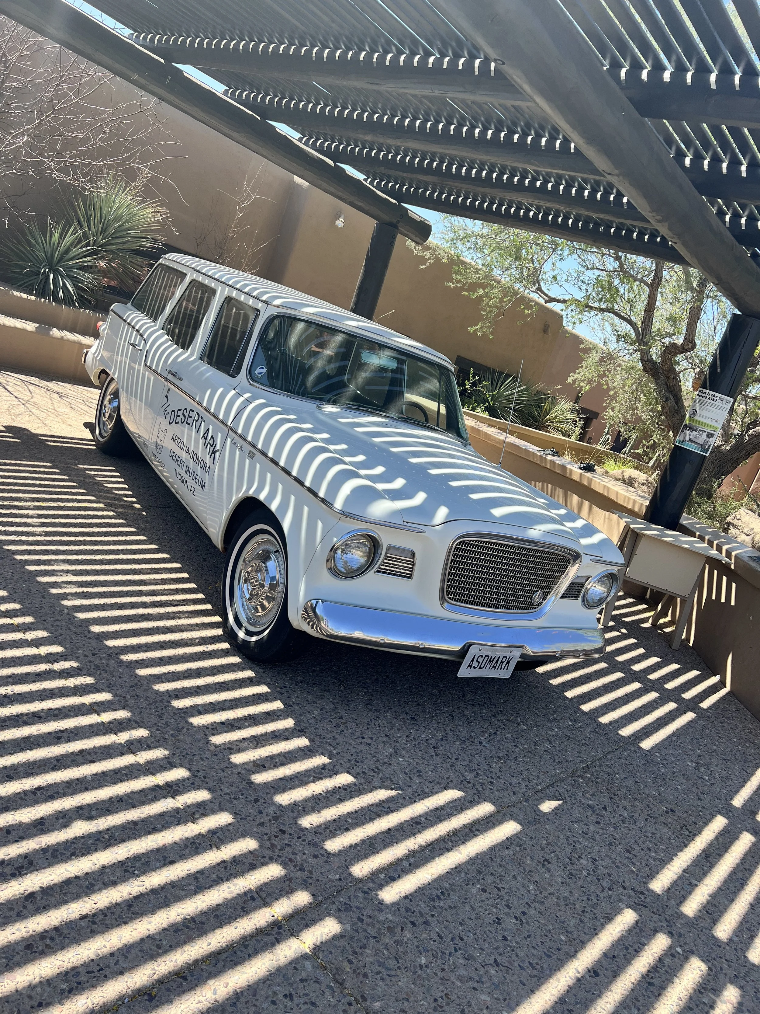
Arizona-Sonora Desert Museum
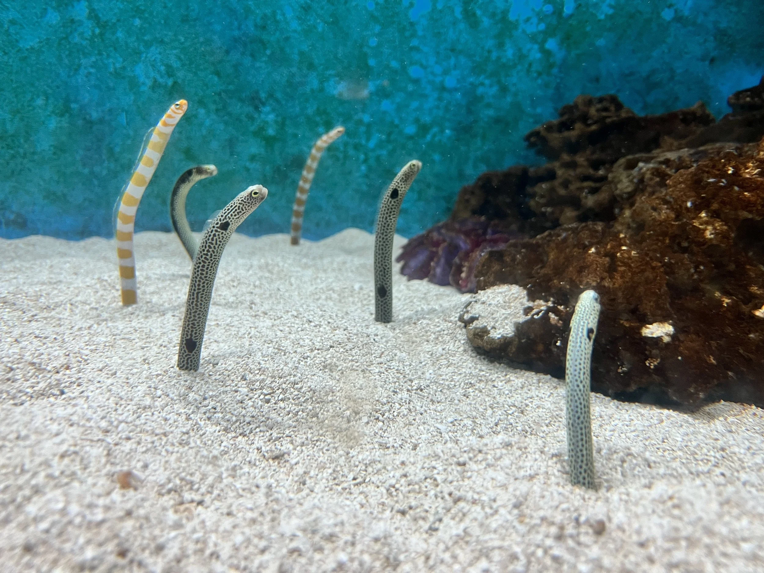
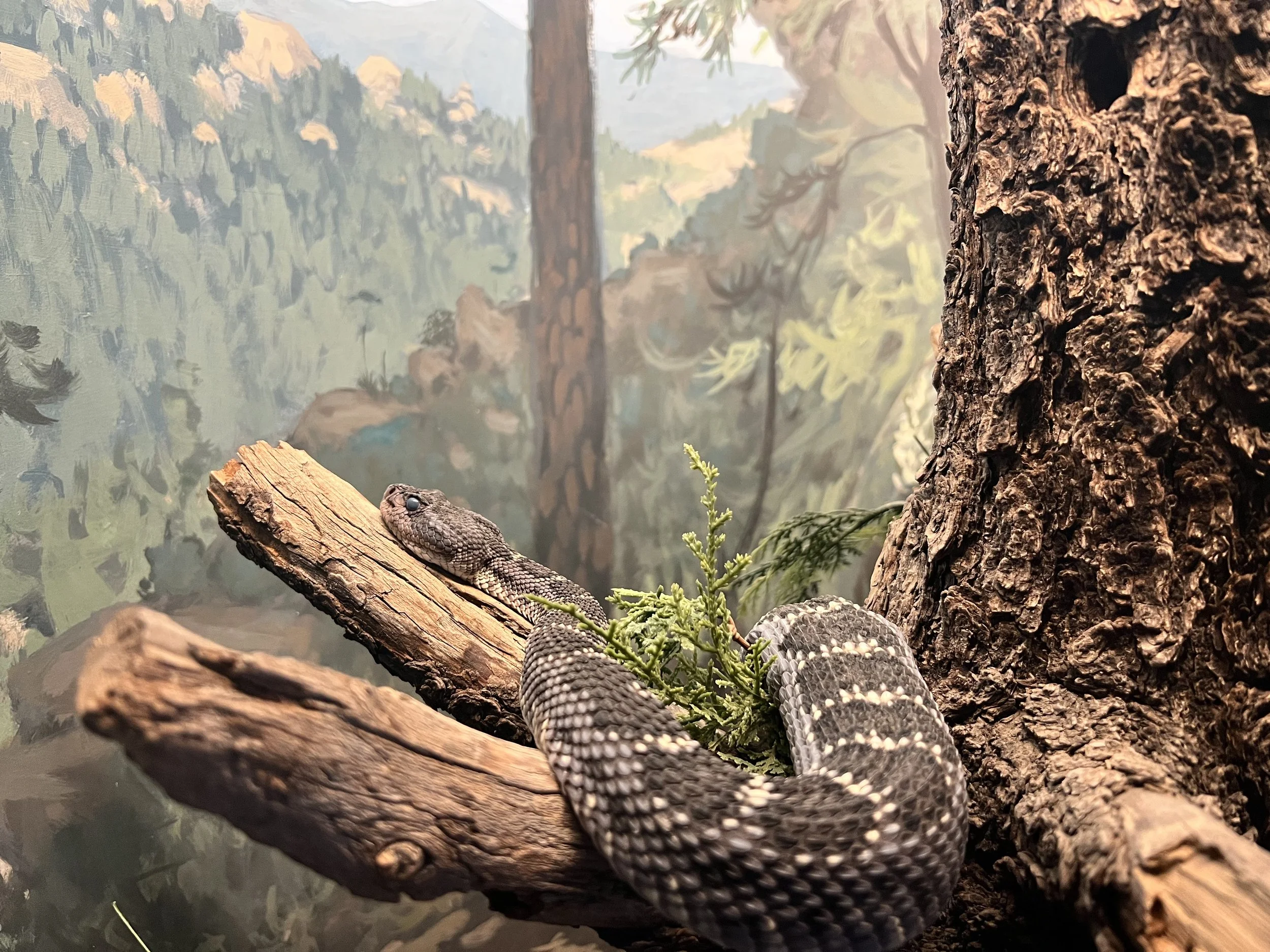
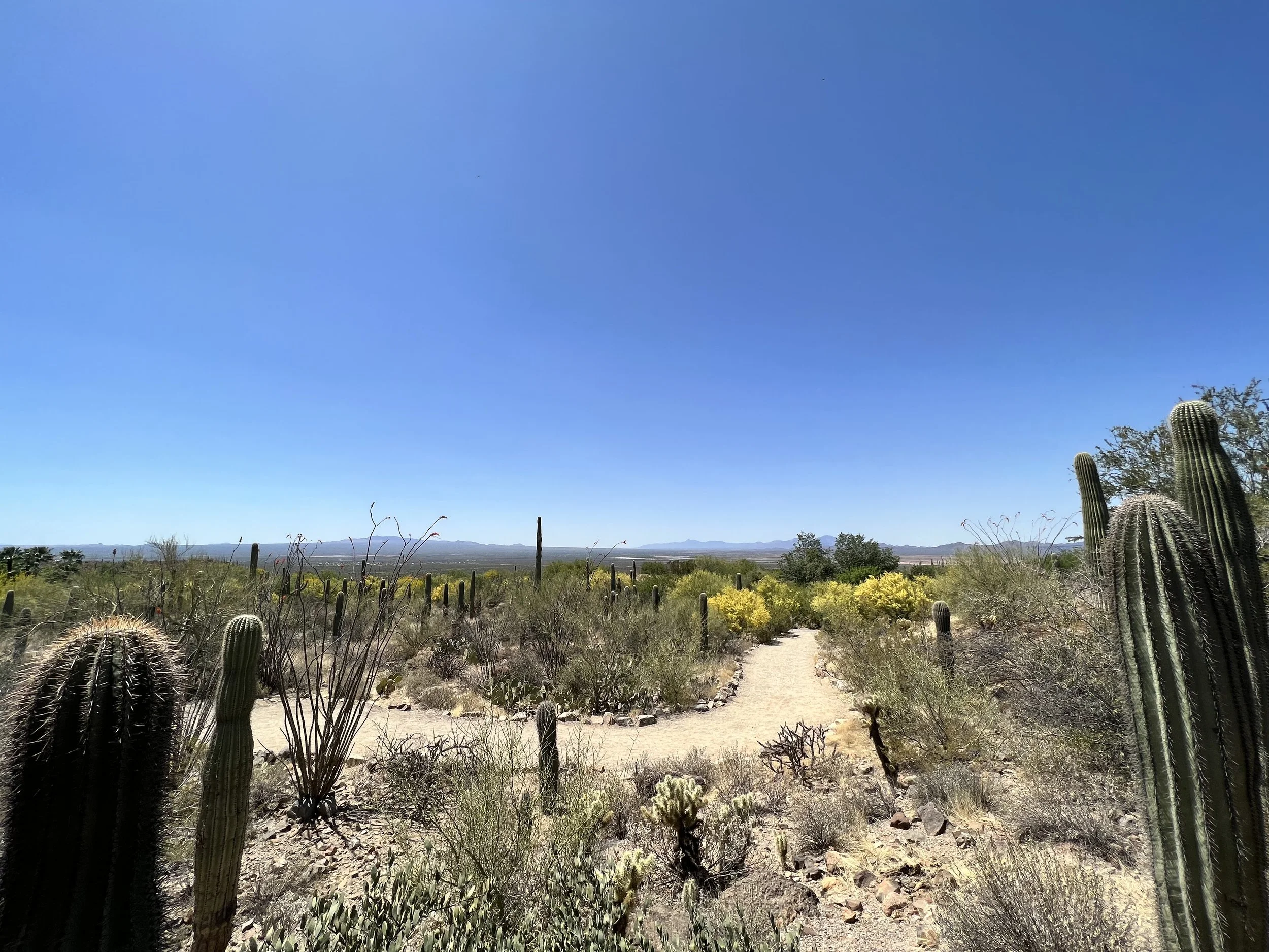
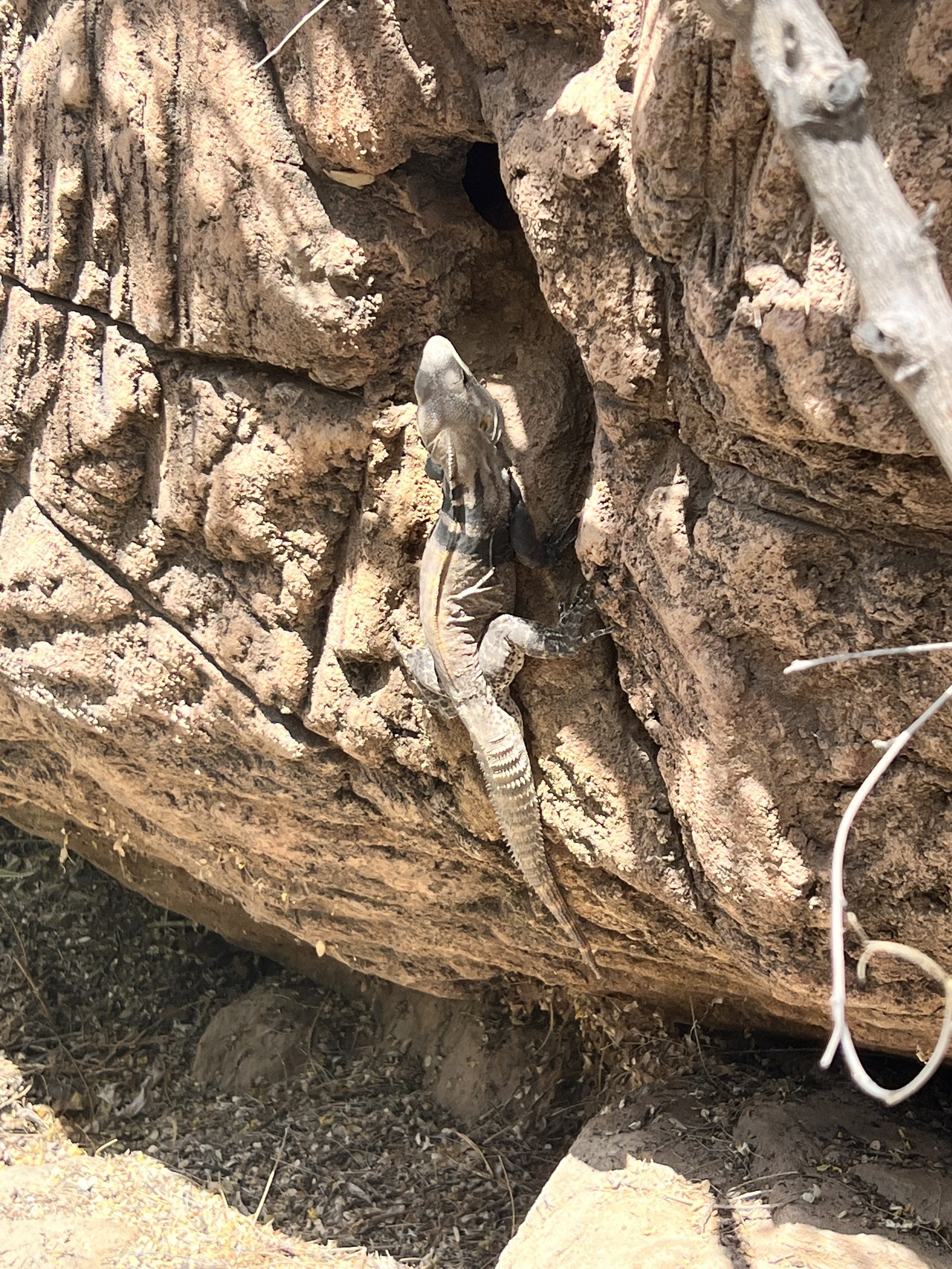
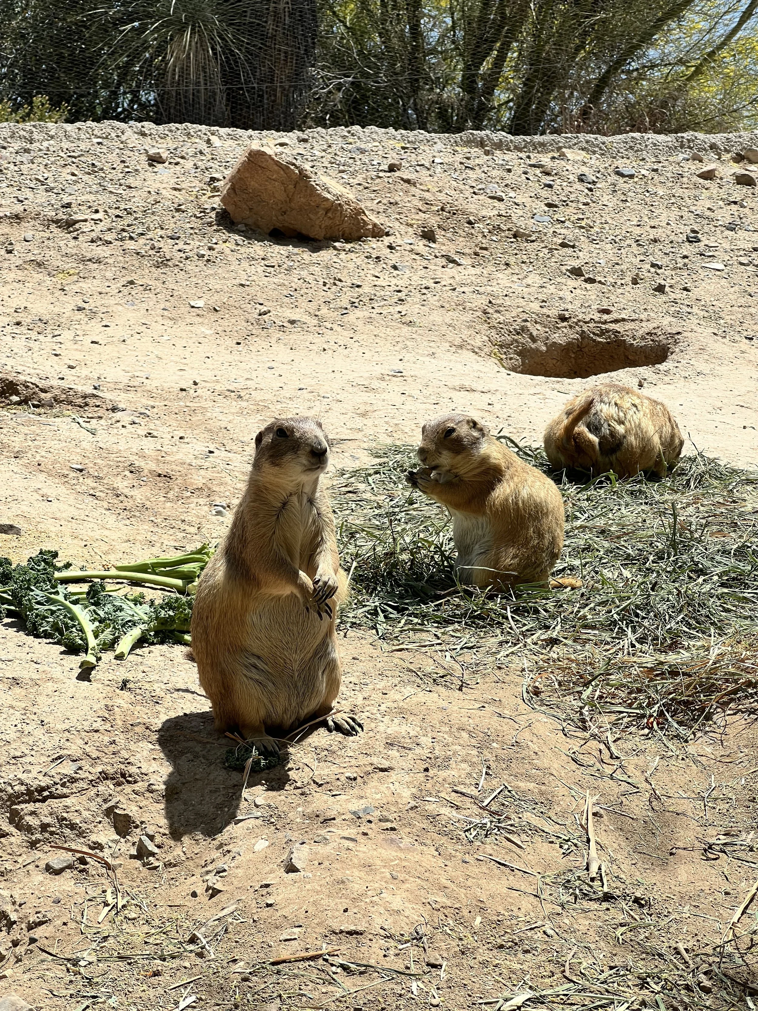
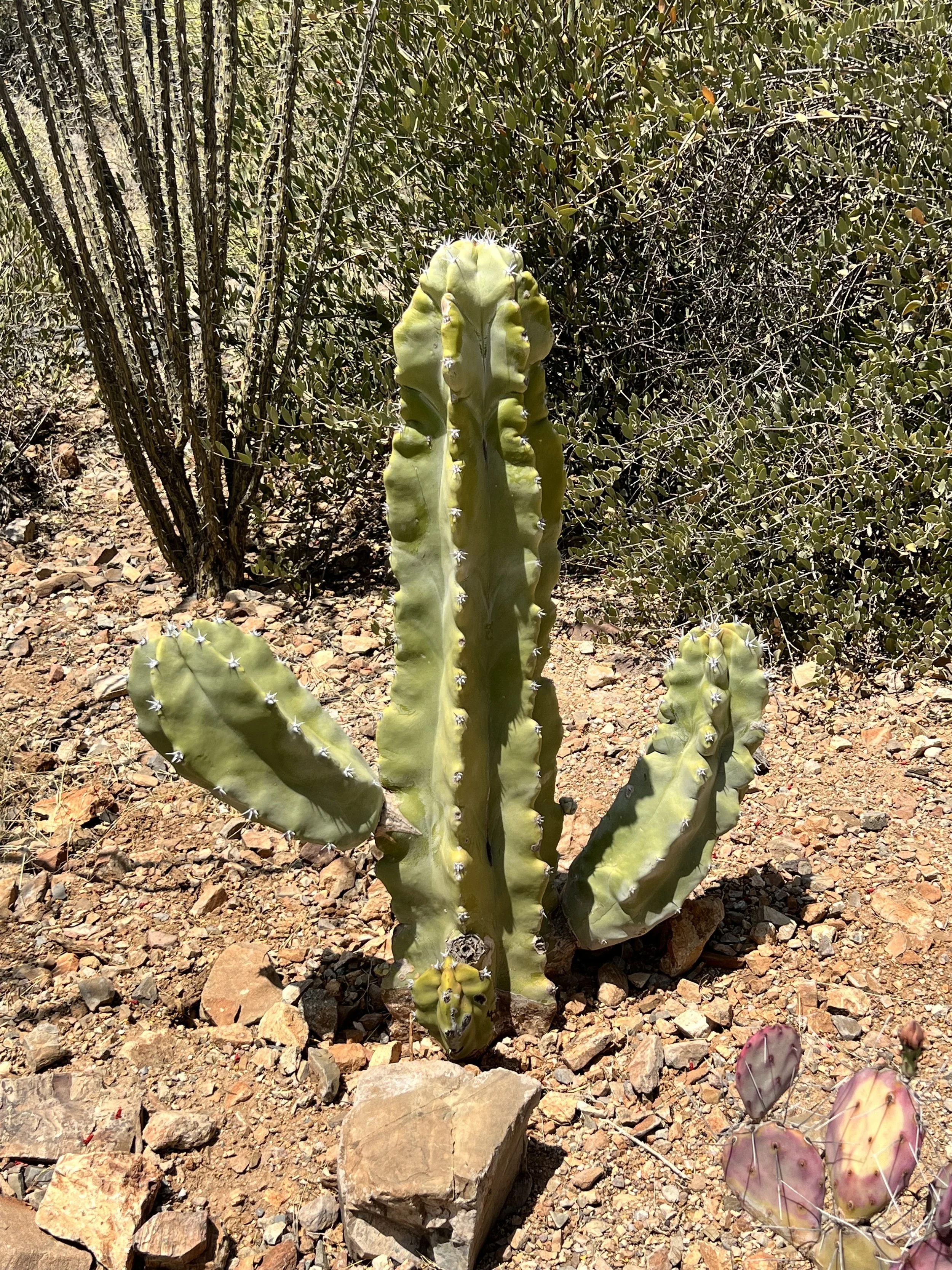
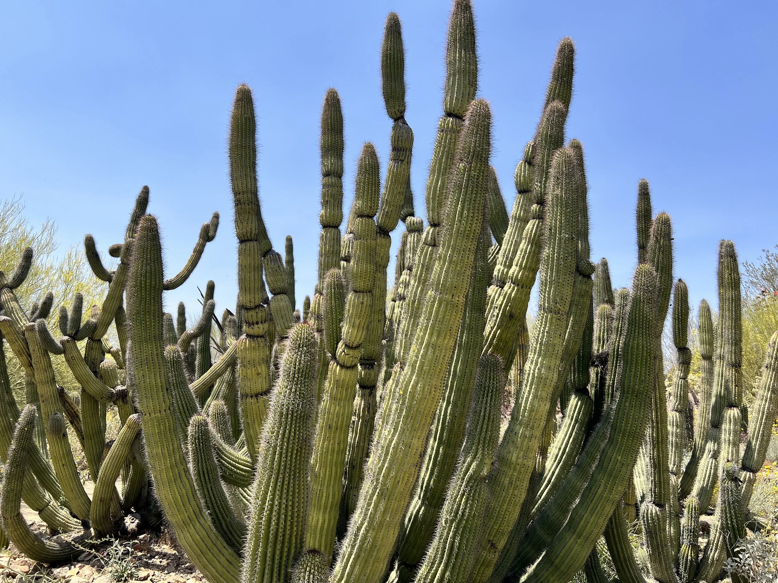
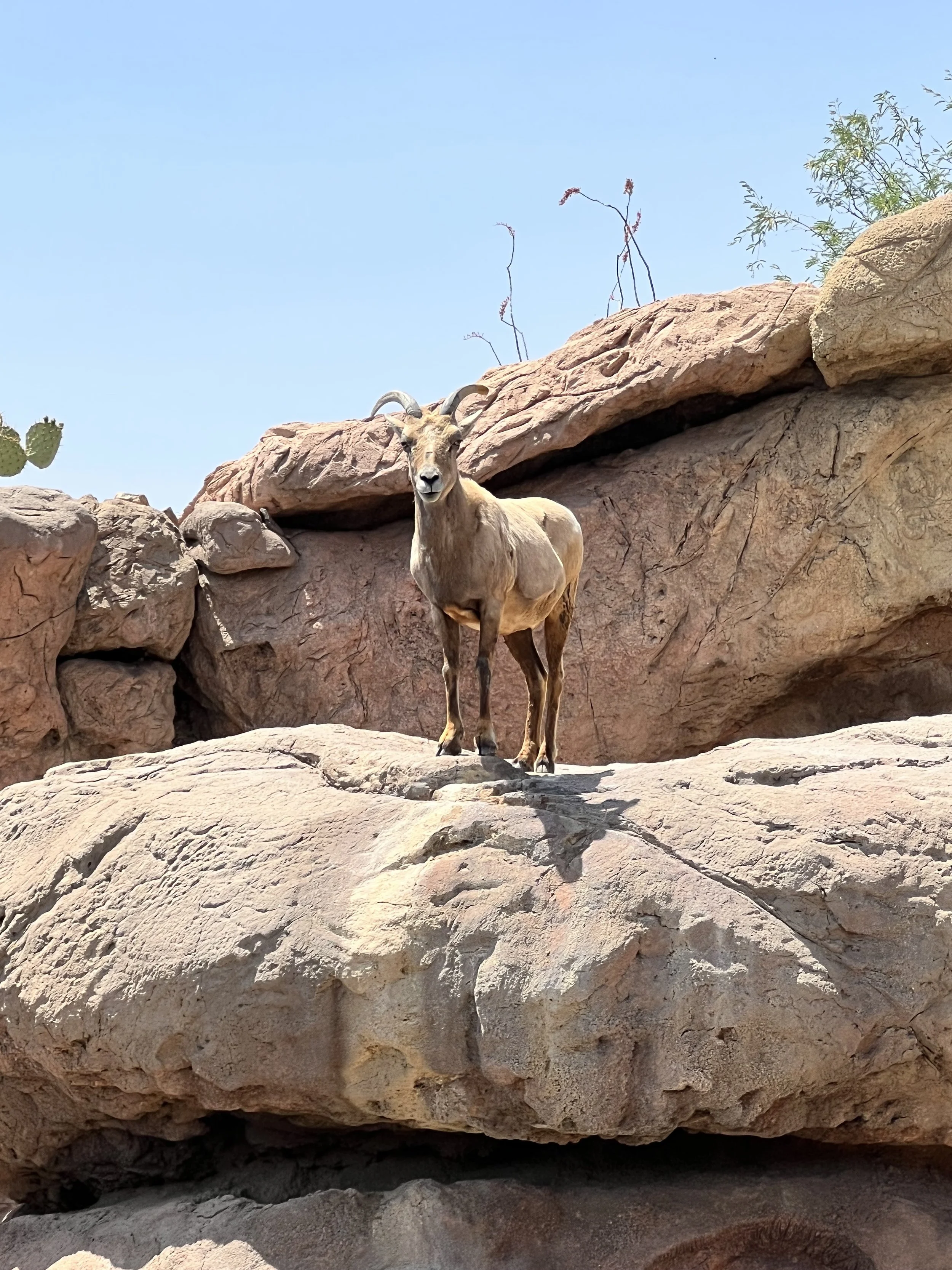
The Desert Museum is part zoo, part botanical garden, art gallery, natural history museum, and aquarium. It’s a fantastic way to spend a day with so much to do!
Barrio Viejo
Experience the rich history of Tucson on the one-mile Barrio Viejo (old neighborhood) Walking Tour, which goes through the largest collection of Sonoran Row houses in the United States. For over 100 years, Barrio Viejo was the heart of Tucson’s social, economic, and cultural life. On this 90-minute walking tour, your tour guide Mauro Trejo will discuss the history of the neighborhood, its architecture, and the individuals, businesses, and cultures that meet there.
Biosphere 2
In the 1800s, the Biosphere 2 property was part of the Samaniego CDO Ranch. After several changes of ownership, it became a conference center in the 1960s and 1970s, first for Motorola, then for The University of Arizona. Space Biospheres Ventures bought the property in 1984 and began construction of the current facility in 1986 to research and develop self-sustaining space-colonization technology.
Two missions, between 1991 and 1994, sealed Biospherians inside the glass enclosure to measure survivability. Behind this highly public exercise was useful research that helped further ecological understanding. Several first-person accounts have been published by former crew members that provide different perspectives on the experiment. It also inspired the movie Biodome.
The University of Arizona assumed ownership of Biosphere 2 in July 2011. A generous gift from the Philecology Foundation helps fund Biosphere 2 operations and some research projects. Other grants and awards, primarily from the National Science Foundation, also support research activities.
Kitt Peak National Observatory
The Kitt Peak National Observatory (KPNO) is a United States astronomical observatory located on Kitt Peak of the Quinlan Mountains about 55 mi. west-southwest of Tucson. With more than 20 optical and two radio telescopes, it is one of the largest gatherings of astronomical instruments in the Earth's northern hemisphere.
Kitt Peak National Observatory was founded in 1958 and is home to what was the largest solar telescope in the world, and many large astronomical telescopes of the late 20th century in the United States. The observatory was administered by the National Optical Astronomy Observatory (NOAO) from the early 1980s until 2019, after which it was overseen by NOIRLab.
In June 2022, the Contreras Fire led to the evacuation of Kitt Peak. The fire reached the summit at 2 a.m. on Friday, June 17. Four non-scientific buildings, including a dormitory, were lost in the fire.
Mini Time Machine Museum of Miniature
The Mini Time Machine was created from the imagination and dedication of Founders, Patricia and Walter Arnell. Pat’s fondness for miniatures began in the 1930’s, when as a young girl, she received her first miniatures—a set of Strombecker wooden dollhouse furniture. It wasn’t until the Arnells moved to Tucson in 1979 that Pat began collecting in earnest. The Arnell’s became very active in the miniature community becoming recognized members and supporters of important organizations such as NAME (National Association of Miniature Enthusiasts) and IGMA (International Guild of Miniature Artisans). The collection grew, and the Arnells dreamed of a way to share it with more people. They envisioned an interactive space where the entertaining and educational aspects of the collection could be enjoyed by everyone—a place that would be enchanting, magical and provide a rich sensory experience.
The concept of “the mini time machine” was born out of the notion that a visitor would be seemingly transported to different eras by the stories and history of the pieces in the collection.
The Mini Time Machine Museum of Miniatures is a 501(c)(3) board-only nonprofit organization, classified as a private foundation with a long term goal of achieving public charity status. All proceeds from every sale, including admission, membership and merchandise go towards funding the museum’s operations.
The museum is dedicated to all who participate in the world of miniatures.
Mission San Xavier del Bac
Mission San Xavier del Bac is a historic Spanish Catholic mission located about 10 miles south of downtown Tucson, on the Tohono O'odham Nation San Xavier Indian Reservation. The mission was founded in 1692 by Padre Eusebio Kino in the center of a centuries-old settlement of the Sobaipuri O'odham, a branch of the Akimel or River O'odham, located along the banks of the Santa Cruz River. The mission was named for Francis Xavier, a Christian missionary and co-founder of the Society of Jesus (Jesuit Order) in Europe. The original church was built to the north of the present Franciscan church. They served the mission until it was razed during an Apache raid in 1770.
The mission that survives today was built between 1783 and 1797, which makes it the oldest European structure in Arizona.
Sabino Canyon
The history of Sabino Canyon began with the formation of the Santa Catalina Mountains over 12 million years ago. Around 5 million B.C., the mountains ceased formation around the Tucson valley. Present-day varieties of plant life first appeared between 6,000 and 8,000 years ago, and some of the earliest human occupants of Sabino Canyon were the Native American Hohokam people.
The 1887 Sonora earthquake dislodged massive boulders lining the canyon walls, which came to rest in the valley below. In 1905, the newly created U.S. Forest Service began administering Sabino Canyon. During the Great Depression, the Works Progress Administration (WPA) and Emergency Relief Administration (ERA) built Sabino Dam and nine bridges over Sabino Creek in an attempt to build a road to the top of Mount Lemmon. The road travels about 4.5 miles into the canyon, but was not completed due to the steep terrain at the end of the canyon.


